
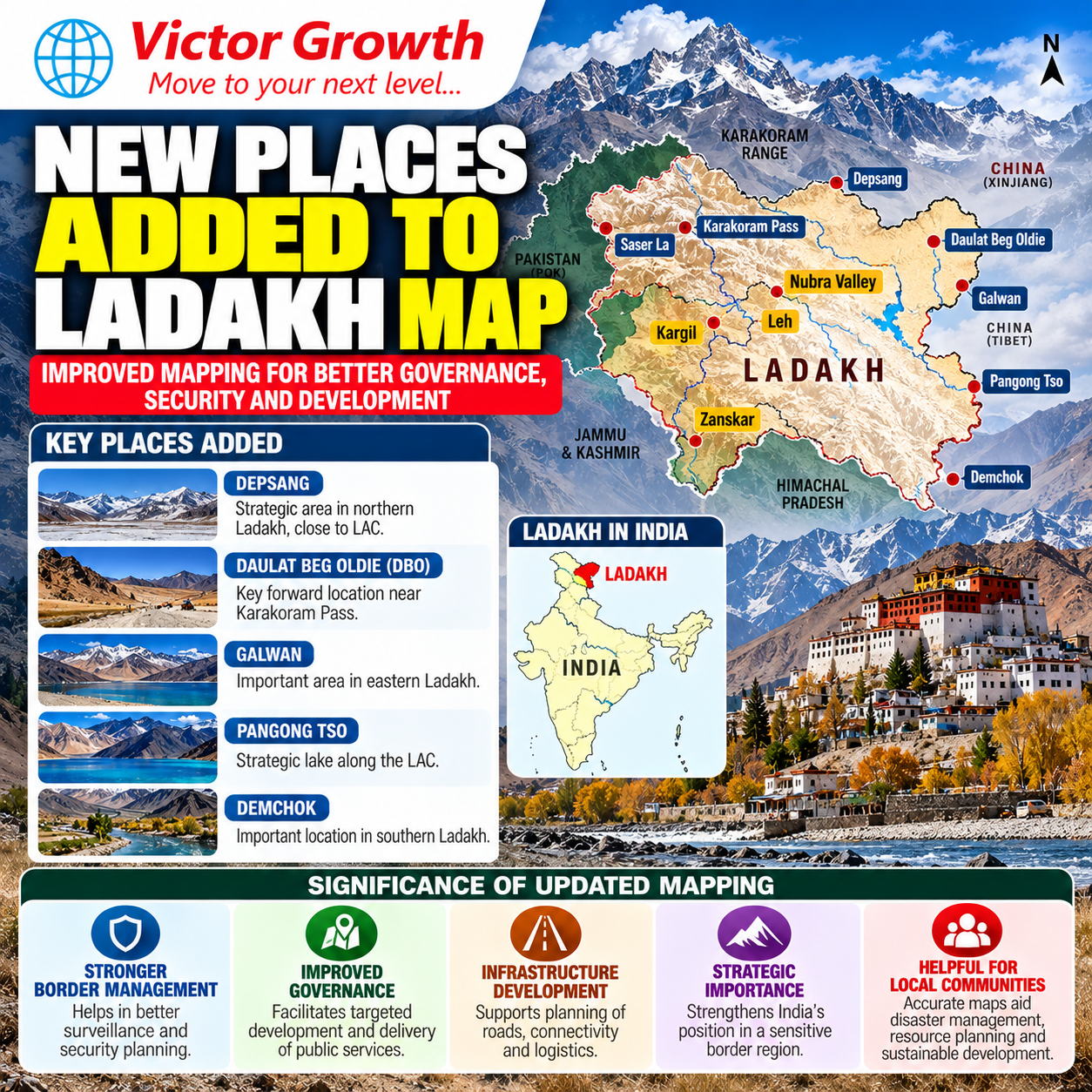
The Government of India, in consultation with the Union Territory Administration of Ladakh, has formally identified 28 places and geographical features in Ladakh using standard place and feature names on the official Survey of India (SoI) map.
The move aims to facilitate accurate recognition of these geographical features and improve public awareness about them.
What Has Been Added?
The 28 identified features include:
Peaks: Atisha Giri, Kanishka Peak, Martand Giri, Zorawar Peak, Rinchen Zangpo, Sakyasri Giri, Marpa Lotsava Ri, Milarepa Kangri, Shiva Ri and Maheshvara Ri
Mountains: Karun Pir, Drak Karpo and Jolmori
Passes: Chapchingal Pass and Shachmirk Pass
Glaciers: Parpik and Skamri Glacier
Valley: Shkorga Valley
Lake: Guru Rinpoche Lake
River: Yangpa River
Water body: Hot Spring
Other land areas/points: Brangsa, Kuksel, Dehra Compass, Gogra, Kumarayana Point, Panglung and Shamal Lungpa
Why is this Important?
1. Geographical Identification
Standardising geographical names on official maps helps ensure consistent identification of locations for administration, research, disaster management and infrastructure planning.
2. Strategic Significance
Ladakh is a strategically important Himalayan region bordering China and Pakistan. Accurate mapping and documentation of geographical features are important for border management, infrastructure planning and national security.
3. Cultural and Historical Significance
Several of the newly identified names have links with Buddhist history and the cultural heritage of Ladakh, including names associated with figures such as Guru Rinpoche, Rinchen Zangpo and Milarepa.
4. Administrative Context
The development comes amid wider administrative restructuring in Ladakh. In April 2026, five new districts—Sham, Nubra, Changthang, Zanskar and Drass—were formally created, taking the total number of districts in the UT to seven.
Ladakh: Key UPSC Facts
Ladakh became a Union Territory in 2019 under the Jammu and Kashmir Reorganisation Act, 2019.
It is one of India’s largest Union Territories by geographical area.
Leh and Kargil were the original districts.
Five additional districts were created in 2026: Sham, Nubra, Changthang, Zanskar and Drass.
Ladakh’s geography is dominated by high-altitude mountains, glaciers, cold desert landscapes and important passes.
The region is strategically significant because of its location along India’s northern borders.
UPSC Relevance
Prelims
Questions may focus on:
Newly identified geographical features
Location of Ladakh and its neighbouring regions
Himalayan passes, glaciers and rivers
New districts of Ladakh
Survey of India and official mapping
Mains – GS Paper I
The topic can be linked to:
Himalayan geography
Glaciers and climate change
Border geography
Mountain ecosystems
GS Paper II & III
It is relevant to:
Governance in remote areas
Border-area development
Infrastructure and national security
Disaster management
Possible UPSC Mains Question
“Ladakh’s geographical location gives it both strategic and ecological significance. Discuss the importance of accurate mapping and geographical identification in the region.”
Conclusion
The identification of 28 additional places and geographical features on the official Survey of India map highlights the importance of accurate geographical documentation, cultural heritage and strategic mapping in Ladakh. For UPSC aspirants, the development should be studied along with Ladakh’s physical geography, border significance, administrative restructuring and Himalayan environmental challenges.